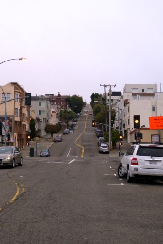
Editor’s note: This the first in a two part series about bicycle riding around the Bay Area.
When my family and I came home from Portland last summer, I was really excited about the prospect of increasing ridership in Tucson by improving our infrastructure.
After having spent the week in the Bay Area, however, I am convinced it’s not all about the infrastructure. There are other elements that I believe Tucson is missing. I’ll write more about that in tomorrow’s post.
First, though, let’s check out what biking in the Bay Area looks like.
I actually only got to ride once. The rest of the week we used public transportation, which was absolutely awesome, or drove with our friends and their two kids.
On Friday, my friend Nate and I hopped on a BART train in Oakland and took it to San Francisco. Check out the route below, which was suggested by Nick Carr, a senior transportation planner with the San Francisco Municipal Transportation Authority.
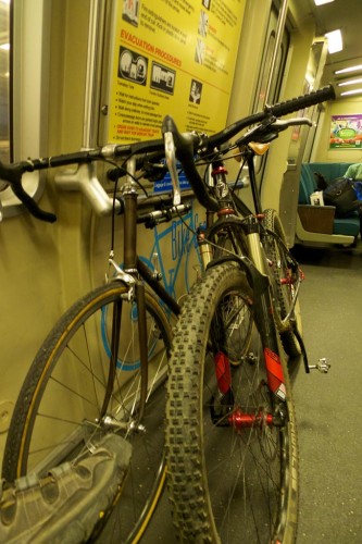
We went very early Friday morning. It was really cool to be out in the city before all the tourists hit the streets. It was a different view of San Francisco.
When we got off the BART, we took a short section of Market Street to the Embarcadero, which follows the waterfront along the bay.
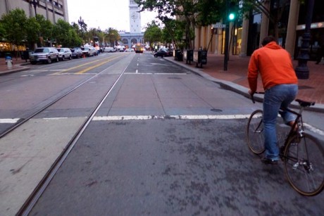
At the beginning of our ride, there was a bike lane on the Embarcadero, but many cyclists also ride along the paved area off the road. I am not sure if that’s legal though.
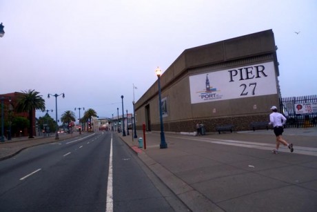
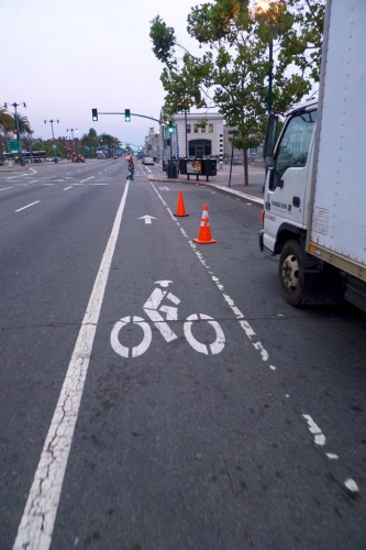

Eventually we came to the end of Fisherman’s Wharf where a path starts for bikers and walkers.
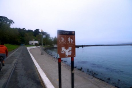
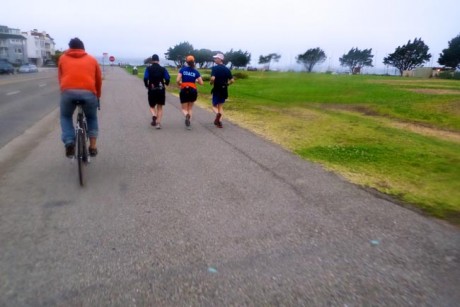
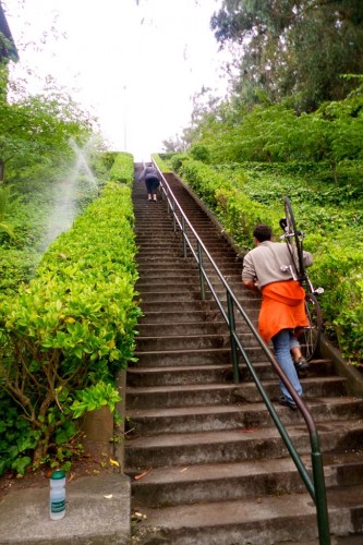
We varied the route a little because we wanted to find coffee. After a quick pit stop, we decided we would ride along the boundary of Presidio Park and encountered not a road, but a long flight of stairs. We decided to climb them cyclocross style, but once we made it to the top there were only more stairs, so we decided to backtrack a few blocks.
At this point we encountered some of those crazy hills San Francisco is known for. Because I forgot my GPS, I don’t know what the actual grade was, but I do know I had a hard time keeping my front wheel on the pavement.
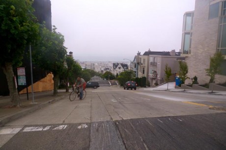
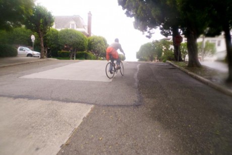
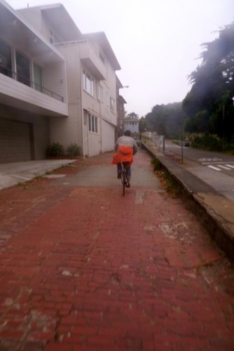
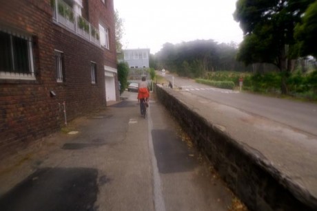
Once we made it to the top we headed west and ended up riding between a row of houses and a park. With the old cobblestone roads, zero traffic, damp weather and lush green park, it could have easily been a European city.
We hit Arguello Road, which is one on the city’s major bike routes. It has paved bike lanes from the Presidio all the way to Golden Gate Park.
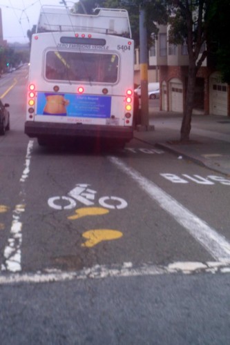
Once in Golden Gate park, we traveled on a route that was heading the opposite direction as automobiles.
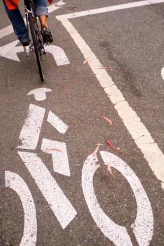
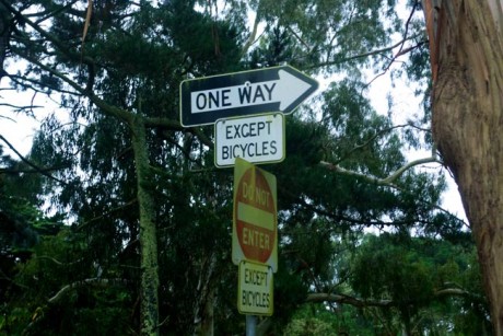
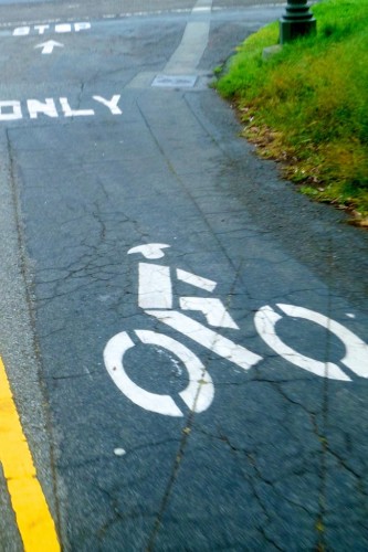
We popped out of Golden Gate park at the Panhandle, which if you look at a map of the area looks just like it sounds. The panhandle park has a pedestrian-only section on the south and a shared bike and pedestrian path on the north side.

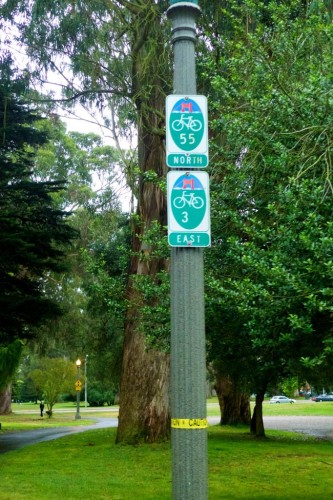
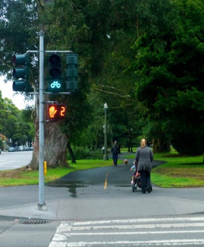
We reached the end of the park and started the route known as “The Wiggle.”
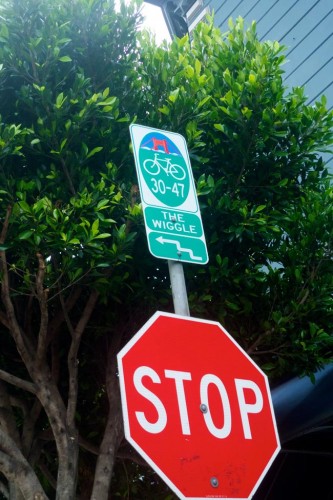
The Wiggle is a bike route developed by San Francisco cyclists that avoids several large hills and allows you to get from the east to west sides of San Francisco and is generally ridden in the opposite direction we rode it.
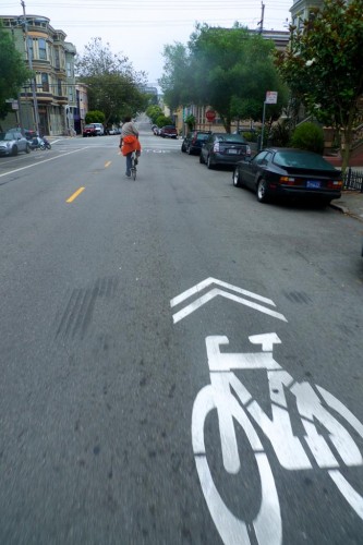
I didn’t seen any bike lanes on any of the Wiggle, but most of the roads had sharrows.

Eventually the Wiggle pops you out behind a Safeway on Market Street. Market Street is unique in that for the past few bicycle counts, more cyclists are using it than automobile drivers.
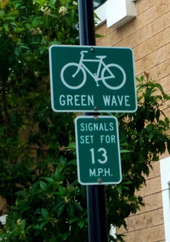
At the suggestion of San Francisco transportation planner Carr we cut over to Valencia Avenue to check out their “Green Wave.” We didn’t know what that meant until we got out there. We were expecting to see a long row of green paint on the roads, but saw a sign instead.
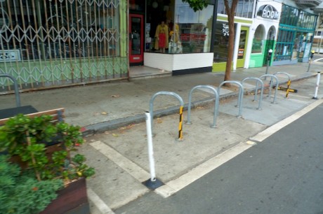
Traffic engineers have timed the street light so that a cyclist traveling 13 miles-per-hour on Valencia will get nothing but green lights. It worked quite well and was cool to see the prioritization of cyclists. The road also featured bike lanes, no parking in the bike lane signs, bike corrals and parklets. The parklets are little mini parks that were created when the city took out a parking space and added benches and plants.
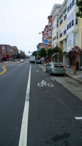
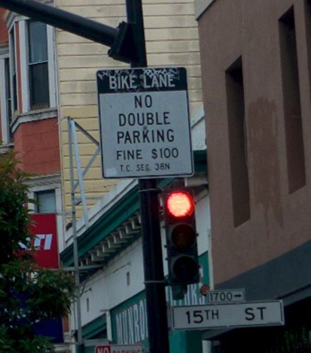

We hopped back on a BART train toward downtown Oakland and rode the last few miles back to the house. The route we took in Oakland was a hodgepodge of bike infrastructure along the same road. Some parts had bike lanes, some had sharrows, some sections had share-the-road signs and some sections had nothing.
Riding in a big city was an interesting experience. I really enjoyed it. Granted we weren’t riding around the city during a busy time, but even while observing cyclists during the rush hours it struck me that riding in the city felt safer.
I couldn’t put my finger on it at first, but then I realized why it seemed better even when there weren’t bike lanes or infrastructure.
It’s all about the speed and attentiveness. It felt safer because it was so chaotic. It seems like drivers expect the roads to be chaotic so they pay more attention to what is going on around them. They expect to have to stop, so when a bicyclist is in front of them, they aren’t being slowed down.
Traffic is often heavy and there are buses, streetcars and pedestrians who are constantly slowing them down, which makes going slow a necessity.
Here in Tucson, it’s not uncommon to be passed by someone going 30-40 miles per hour faster than you are. Regardless of how much space a driver gives you, that is scary.
I’ll gladly take a little less room in exchange for drivers who pay more attention and drive more slowly. I’ve felt this same thing riding around parts of downtown Tucson. I actually enjoy riding downtown because I can take the whole lane and flow with the slower traffic.
Check back for tomorrow’s post, which talks about why biking in San Francisco took off and whether Tucson can recreate their success. I’ll also have more photos from the Bay Area.


Good report, Mike. Thanks for the Wiggle.
Michael,
Great write up. I live and ride in SF and have a couple additions. The steep road was quite steep: http://app.strava.com/segments/629456 even my SF standards. Nice work w/coffee! Also, it is illegal to ride in sidewalks in SF, however I’m not sure about the embarcadero as it may be considered a multi-use path. Lastly, check out sf2g.com. It’s a loose knit organization of commuters from SF to all destinations south. As a commuter going thru area’s on the peninsula I imagine we run into situations similar to Tucson riding (fast cars, hodgepodge of roads/paths, etc). I look forward to tomorrow’s post.
Thanks for reporting,
Bret
Very nice report. Looking forward to tomorrow’s piece.
Yep, that’s it exactly. Chaos favours bicyclists and slows down cars. That’s why back in angled parking is great. It’s also why I love university at Main Gate Square and Congress and Broadway during rush hour and 4th Avenue pretty much all the time.
Mike,
Glad you were able to get in touch with Nick Carr. He’s a great guy I used to race with back in Hawaii and he and the rest of the staff have been doing some very fine work for SF. Great to hear about the Green Wave–didn’t know they have done one there. A good option for the 3rd/University bike boulevard, or maybe otherwise making the signal actuation “hot” (ie, quick response) would be helpful.